Make Geometry
The CGVIEW can be used to help create geometry data for an EGS calculation. In CGVIEW, CG geometry data of the EGS code can be created, and these data are immediately displayed in 3-D figures on the screen for checking. Also, it is possible to save created data. This data can be used as a CG input file in an EGS calculation.
-Explanation of Make Geometry Dialog
-Explanation of Dialog Operation
<< Explanation of Make Geometry Dialog >>
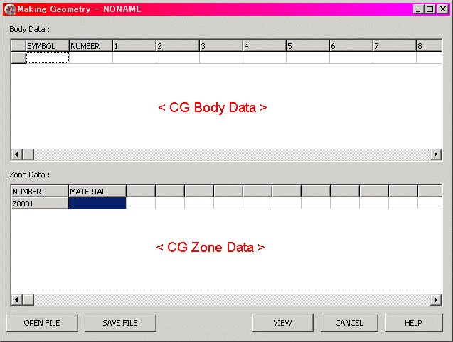
Make Geometry Dialog below Fig.
<CG Body Data> --- See Input CG Body
<CG Zone Data> --- See Input CG Zone
[OPEN FILE] Button --- See File Open
[SAVE FILE] Button --- See File Save
[VIEW] Buttoon --- Close dialog, and View Input Data.
[CANCEL] Button --- Close Dialog, and Destroy Input Data.
[HELP] Button --- this help display.
<< Explanation of Dialog Operation >>
Explanation of Grid Operation in this Section.
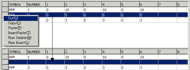
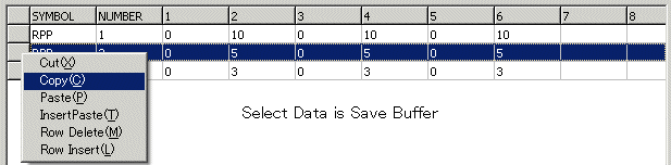
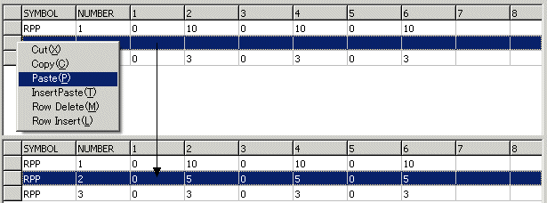
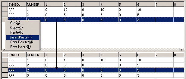
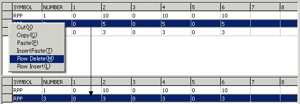
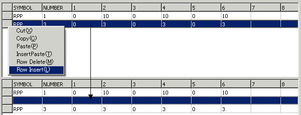
ÅEMouse Right button Click at Cell, then popupmenu display.
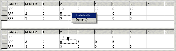
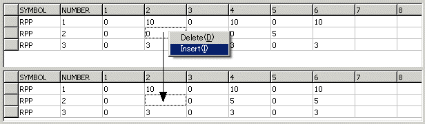
ÅESelect Fixed Region at column, then Selected in Rows. Ans Mouse Right button Click at Cell, then popupmenu display.
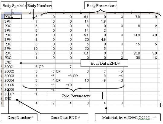
Body make use of CG(Combinatory Geometry).
Body Data composed Symbol, Number and Parameter. Number specify from 1 to 99999.
CG Body Parameter see to CG Format.
[Zone Number]
Number is 5 char and 1st Char is "Z". Number is auto.
[Material Number]
Material Number in EGS user code.
[Other]
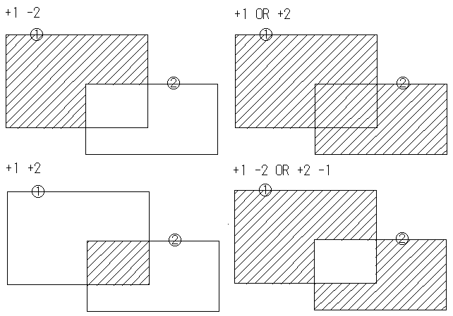
One Zone make Combination Few Body. Combination is +,-,OR and Body number. +1 is inside Body 1,-1 is outside Body 1. (+1 -2) is inside Body 1 and outside Body 2. (+1 OR +2) is inside Body 1 or outside Body 2.
Example)
Click the [Save File] button. Then, a file dialog to save a file appears. Input the file name. The default file extension is (*.geo).
If file extension is not (*.csv) then Free Format.
If file extension is (*.csv) then CSV Format.
Click the [Open File] button. Then, a file dialog to open a file appears. Select a file to open. The default file extension is (*.geo).
If file extension is not (*.csv) then Free Format.
If file extension is (*.csv) then CSV Format.
Extension is (*.csv) used Working on Excel.